Polar Vortex Is Breaking Down Weeks Earlier Than Ever Recorded. What It Means for Winter
Meteorologists are watching something they have never seen this early. On Friday, November 7, 2026, forecasters reported that the polar vortex, the vast ring of cold air that circles high above the Arctic, is breaking down weeks ahead of schedule. The disruption could raise the risk of cold snaps across the Northern Hemisphere later this month and into December, but experts stress that nothing is certain yet. The vortex may recover, and a cold snap in one region does not mean a cold winter everywhere. Here is what is happening high above the Arctic, why scientists are paying close attention, and what it could mean for the weeks ahead.
Quick Facts
| Detail | What We Know |
|---|---|
| What is happening | Sudden stratospheric warming is weakening the polar vortex |
| When it was reported | Friday, November 7, 2026 |
| How early is it | The earliest on record, by about three weeks |
| Full breakdown shown by | November 20, according to the polarvortex.earth dashboard based on ECMWF modeling |
| Chance of wind reversal by November 11 | 96 percent, according to ECMWF ensembles |
| Past November events | 1958, 1968 and 2025, all on November 28 |
| When cold could be felt | Late November or early December, if it happens at all |
| Main driver | A Super El Nino in the Pacific |
What the Polar Vortex Actually Is
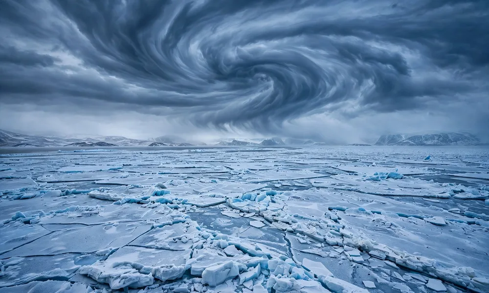
The polar vortex is a vast region of cold air that circulates high above the Arctic. It is not a storm you can see from the ground. It is a band of strong winds, called the stratospheric polar night jet, that spins around the North Pole in the stratosphere, the layer of the atmosphere that sits well above the clouds and the weather we feel every day.
When the vortex is strong, it holds the coldest air tightly around the Arctic, like a fence keeping winter locked in place. When it weakens, that fence sags. Cold air can then spill south into parts of North America, Europe and Asia, while milder air can push north into the Arctic. That is why a weak vortex is linked to cold snaps, even though the vortex itself sits far above our heads.
Most winters, the vortex stays fairly strong until late winter or early spring, when it naturally breaks apart as the seasons change. A disruption in November is a different story. The vortex has only just formed for the season, so an early breakdown is unusual and worth watching closely.
Scientists also track changes higher up in the atmosphere, including a recent NASA Artemis II finding about an ionosphere hole and GPS disruption. The polar vortex is a separate system, but both stories show how much activity takes place in the layers of air above the weather we see from the ground.
What Sudden Stratospheric Warming Does
The disruption now under way involves a process called sudden stratospheric warming. In simple terms, the temperature high above the Arctic rises very fast, sometimes by tens of degrees in a matter of days. That warming weakens the vortex, slows its west to east winds, and can even reverse them so they blow from east to west.
Forecasters at Severe Weather Europe report that stratospheric winds have already dropped to near zero and are forecast to reverse in the coming days. That would make this the earliest such event on record by about three weeks. ECMWF ensembles put the chance of a reversal by November 11 at 96 percent.
In the most extreme cases, the warming can split the vortex into two or more pieces. The polarvortex.earth dashboard, which visualizes ECMWF modeling, shows a full breakdown of the vortex, when the westerly winds turn easterly, by November 20. A split vortex can push cold air south in a less even way, which is one reason forecasters pay close attention to how the vortex breaks apart, not just whether it weakens.
There is an important detail here. The reversal now expected looks brief. ECMWF ensembles show the winds recovering by mid-November. A short reversal may have little effect on surface weather, while a longer one would matter much more. That is one reason experts are urging caution before drawing big conclusions about the winter ahead.
Why This Disruption Is So Early
European Centre for Medium-Range Weather Forecasts principal scientists Tim Stockdale and Frederic Vitart told AFP: “As far as we know, this is the earliest stratospheric vortex disruption that has been observed.” That is a careful statement, but it is a striking one. Records of the stratosphere go back to the 1950s, and a sudden stratospheric warming in November has happened only three times in that period: in 1958, 1968 and 2025. All three happened on November 28.
This event is running about three weeks ahead of those dates. The NOAA Climate Prediction Center has also indicated that a disruption could develop within days, adding to the picture of a vortex under unusual early pressure.
So what is pushing it? Grahame Madge, a spokesperson for Britain’s Met Office, told AFP: “This is very early, and possibly that earliness is triggered by the amplitude of the El Nino event in the Pacific.” The 2026-2027 winter is dominated by a Super El Nino in the Pacific, a strong warming of Pacific waters that can shift weather patterns around the world. Alongside it, the tropical stratosphere is in a westerly phase of the Quasi-Biennial Oscillation, known as the QBO, which is another large scale wind pattern that can shape how the vortex behaves.
Scientists are still working out exactly how these big patterns connect to a November warming event. The El Nino link is a leading explanation, not a settled fact, and forecasters are clear that more study is needed before anyone can say for sure what set this event in motion.
What It Could Mean for Winter
A weak polar vortex does not automatically mean a cold winter. It raises the odds of cold snaps, but where the cold goes, how long it lasts, and how strong it is all depend on many other factors. That is the honest message from forecasters right now.
History gives two very different examples. The closest analog to an event this early is late November 1968, which was followed by a cold December in the United States. That is the cold outcome people worry about. But the closest analog for a very strong El Nino is the winter of 2015-2016, which brought much warmer than normal weather across the eastern United States. Same season, very different result.
That contrast is why experts stress that it is too early to know whether this disruption will change the winter outlook. The vortex may recover quickly, the cold air may stay bottled up, or the effects may show up in one region and not another. Any cold linked to this event would most likely be felt in late November or early December, not right away.
For families already thinking about the holiday season, the timing matters in a practical way. Travel and outdoor plans in late November and early December deserve a closer look at the forecast than usual, and it is worth keeping an eye on seasonal updates as the picture becomes clearer. If you are planning winter outings, the Hershey 2026 holiday lineup with Grinch Kisses and Cindy Lou Who is one of the seasonal attractions drawing families this year, and checking the forecast before any trip is a sensible step.
What You Should and Should Not Worry About
First, what not to worry about. A polar vortex disruption is not a sign that the whole winter will be brutally cold, and it is not a reason to panic buy or change long term plans. The vortex has weakened before without producing a harsh winter, and this reversal is expected to be brief. The cold, if it comes, is most likely weeks away.
What is worth doing is simple and practical. Keep an eye on your local forecast as late November approaches, especially if you live in a region that often feels the effects of a weak vortex. Make sure your home heating is ready for the season, and have a plan for cold snaps if you spend time outdoors. If you run outdoors, a sudden cold snap is a good reason to review how to start running for beginners safely in cold weather, including warming up properly and dressing in layers.
This article is general information only. Weather patterns are complex, and local conditions can differ greatly from the big picture. For alerts and advice that apply to your area, check your local official weather service and follow its guidance.
Does a polar vortex disruption guarantee a cold winter?
No. It raises the risk of cold snaps, but it does not guarantee them. Past events have led to very different winters, and experts say it is too early to know how this one will play out.
When could cold weather arrive?
If this disruption affects surface weather, any cold would most likely be felt in late November or early December. The wind reversal itself is expected to be brief, with winds recovering by mid-November.
Why is this event happening so early?
Scientists point to the Super El Nino in the Pacific as a possible trigger, along with westerly QBO winds in the tropical stratosphere. The link is a leading explanation, not a proven cause, and researchers are still studying it.
Should I change my winter plans?
There is no need to change plans now. Watch your local forecast as late November approaches, prepare your home and clothing for cold weather as you normally would, and check your local official weather service for alerts.
Sources
Final Thoughts
The polar vortex is breaking down earlier than anyone has ever recorded, and that alone makes this a story worth following. A sudden stratospheric warming in November has happened only three times since the 1950s, and this one is running about three weeks ahead of those dates. But early does not mean certain. The reversal looks brief, the winds are expected to recover by mid-November, and history shows that similar setups have led to both cold and warm winters.
The honest answer, for now, is to watch and wait. Forecasters will know much more in the coming weeks as the vortex either recovers or stays weak. Until then, keep an eye on your local forecast, prepare for cold weather as you normally would, and check your local official weather service for alerts as late November approaches.